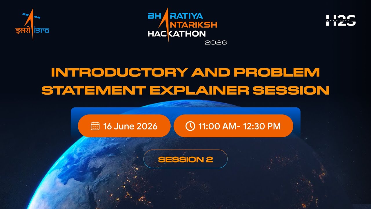
Problem Statement Session 2 | Bharatiya Antariksh Hackathon 2026
Hack2skill
Overview
This video is the second problem statement explanation session for the Bharatiya Antariksh Yatra 2026 hackathon, organized by ISRO. It covers problem statements 9 through 15, with mentors explaining the technical challenges and expected outcomes. The hackathon is open to students, offering opportunities for learning, mentorship, potential internships at ISRO, and national recognition. Key dates and milestones, including registration deadlines and the grand finale, are also outlined. The session details specific problems in areas like adaptive optics, infrared image enhancement, satellite image retrieval, temporal resolution enhancement, network security, energetic particle forecasting, and solar flare prediction.
Save this permanently with flashcards, quizzes, and AI chat
Chapters
- Welcome to the third edition of the Bharatiya Antariksh Yatra 2026, an ISRO-powered national innovation initiative.
- This session explains problem statements 9-15, following up on yesterday's session for statements 1-8.
- The hackathon aims to bring student innovators together to build solutions for space technology.
- Eligibility is for undergraduate, postgraduate, and PhD students; teams must have 3-4 members.
- Key benefits include expert mentorship, potential ISRO internships, networking, and national recognition.
- Develop and optimize algorithms for wavefront reconstruction and turbulence characterization using Shack-Hartmann sensor time-series data.
- The problem is relevant to adaptive optics in ground-based astronomy, optical communication, and biomedicine.
- A Shack-Hartmann sensor uses an array of lenslets to sample a wavefront and detect distortions.
- Participants will receive time-series data of sensor frames to identify spot deviations and reconstruct the wavefront.
- The reconstructed wavefront will be used to derive turbulence characteristics and an actuator map for a deformable mirror.
- Develop an end-to-end framework to super-resolve and colorize low-resolution thermal infrared (TIR) satellite images.
- The goal is to improve object interpretation by predicting realistic RGB colors for TIR images.
- Current low-resolution TIR images from satellites are difficult for humans and AI to interpret, hindering earth observation analysis.
- The framework will involve a super-resolution model followed by a colorization model.
- The dataset will be from Landsat 8 or 9, using co-registered TIR and RGB images.
- Address the temporal resolution gap in satellite imagery by generating synthetic frames using AI/ML-based optical flow.
- Current geostationary satellites provide data at intervals (e.g., 10-30 minutes), missing rapid events like cyclones, wildfires, and thunderstorms.
- The approach involves using optical flow for motion vector estimation to interpolate intermediate frames between existing ones.
- Participants should use thermal infrared bands (e.g., GOES-19 ABI Channel 13) for interpolation.
- The final model should be applied to INSAT 3DR data to generate 15-minute interval frames, with deliverables including a trained model, interpolated frames, and a web dashboard.
- Develop an autonomous, fully offline LLM-based co-pilot for predictive fault analysis in MPLS networks.
- The model should forecast network failures proactively, explain issues in plain English, and not depend on internet connectivity or external APIs.
- Participants need to simulate a multi-site MPLS network topology and perform fault analysis based on parameters like route flapping, queuing, and tunnel status.
- An open-weight LLM model should be used with local playbooks and runbooks for RAG (Retrieval-Augmented Generation).
- The system should correlate events, identify potential failure reasons, and provide explanations.
- Develop an AI/ML-based forecast model for energetic particle radiation, specifically 'killer electrons' (MeV energies), for ISRO's geostationary satellites.
- The model should provide short-term (nowcasting) and long-term forecasts of harsh radiation experienced in geostationary orbit.
- Key factors influencing the radiation environment include solar wind speed, interplanetary magnetic field (IMF), and density.
- Data sources include GOES satellite data (electron fluxes > 2 MeV), solar wind data (e.g., from ACE/Wind), and GRACE satellite data for validation over Indian longitudes.
- The expected outcome is a real-time GUI forecasting electron fluxes for ISRO's geostationary satellites.
- Develop models for real-time tracking (nowcasting) and advanced warning (forecasting) of solar flares.
- The project utilizes combined soft and hard X-ray data from ISRO's Aditya-L1 satellite (SoLEXS and HELIOS instruments).
- Solar flares are energetic explosions releasing charged particles that can cause geomagnetic storms, disrupting power grids, GPS, and communications.
- Objectives include building detection algorithms for SoLEXS and HELIOS independently, creating a unified flare catalog, and developing a forecasting system with quantifiable lead time.
- Evaluation metrics focus on flare detection accuracy, true positive rate, low false positive rates, and a lead time of 15-30 minutes for forecasts.
- Develop a unified model for cross-modal satellite image retrieval, enabling semantic similarity searches across optical, SAR, and multispectral images.
- The objective is to retrieve similar regions across different sensor modalities, overcoming limitations of metadata-based search.
- A deep learning model will learn a common embedding space for various modalities.
- The model should accept a query image from one modality and retrieve top-K similar images from another modality (e.g., optical to SAR).
- Evaluation metrics include F1 score and accuracy for same-model and cross-model retrieval, as well as average retrieval time per query.
Key takeaways
- The Bharatiya Antariksh Yatra 2026 hackathon provides a platform for students to innovate in space technology, offering significant learning and career development opportunities.
- Problem statements cover diverse and critical areas of space research, from improving astronomical observations to forecasting space weather events.
- AI and ML are central to solving many of these challenges, requiring participants to leverage techniques like deep learning, time-series analysis, and computer vision.
- Understanding and processing diverse satellite data formats (e.g., CDF, NetCDF) is a common requirement across multiple problem statements.
- The hackathon emphasizes both the technical development of solutions and the ability to clearly explain and present them.
- Successful participation involves not just technical skill but also understanding the 'why it matters' aspect of each problem statement.
- Participants are encouraged to explore existing literature and models but also to innovate and develop novel approaches.
- The ultimate goal for many problems is to create systems that can provide real-time insights or forecasts, aiding in critical decision-making.
Key terms
Test your understanding
- How does a Shack-Hartmann wavefront sensor work, and what kind of data does it provide for turbulence characterization?
- What are the two main objectives of the infrared image colorization and enhancement problem statement, and why is this important for earth observation?
- Explain the concept of 'temporal resolution gap' in satellite imagery and how optical flow can be used to address it.
- What is the primary challenge in developing an 'air gap predictive co-pilot' for network security, and what role does an LLM play in this context?
- Why is forecasting energetic particle radiation important for geostationary satellites, and what types of data are typically used for such predictions?
- How do soft and hard X-ray data from instruments like SoLEXS and HELIOS differ, and how can this difference be leveraged for solar flare forecasting?
- What is cross-modal satellite image retrieval, and what are the key challenges in building a unified model for it?